Tag: Blaeu

Historical Maps

Map of Eastern Brazil 1664

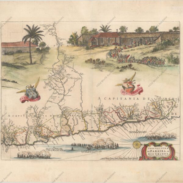
Map of Eastern Brazil 1664 – Grooten Atlas Important Map of the Brazilian Coast “Praefecturae Paranambucae Pars Meridionalis”, Blaeu, Johannes This fine map of the Brazilian coast is richly decorated with a scene of natives with a look-out tower and a huge fleet of ships. With north oriented to the right, the […]

Historical Maps

Map of Paraíba from 1662

Map of Paraíba from 1662 – Atlas Maior “Praefecturae de Paraiba, et Rio Grande”, Blaeu, Johannes Superb map of the Brazilian coastline including the capitanias of Paraiba and Rio Grande. The map was drawn after actual surveys by Georg Markgraf, Elias Herckmanns and others, and was among the first maps of Brazil […]