Este post também está disponível em:
![]() Português
Português ![]() English
English

The Baía de Todos os Santos is an indentation of the Brazilian coastline located in the state of Bahia.
It is the second largest bay in the world (after the Gulf of Bengal) and the largest in Brazil. Its extension is 1,233 km², with an average depth of 9.8 meters, reaching up to 42 meters, with diving visibility between 10 and 20 meters.
From it originated the name of the captaincy, province and current Brazilian state. The federative unit, however, kept the letter ‘h’ in the noun, according to the spelling of the Portuguese language of the time.
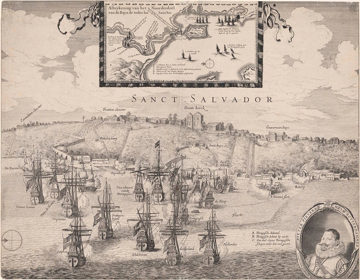
View the map of Baía de Todos os Santos
To have an idea of the dimension of this bay, it has approximately the area of the municipality of Rio de Janeiro, the second largest metropolis in Brazil.
Video Documentary about the Baía de Todos os Santos
Documentário sobre a Baía de Todos os Santos
History of the Baía de Todos os Santos
The wide and deep bay enchanted navigators, pirates and colonizers, as well as aroused the interest of the Portuguese government for being an excellent natural anchorage, a strategic defensive site, with pristine waters and lands with good fertility.
It was named in 1501 when a Portuguese expedition commanded by Gaspar de Lemos and accompanied by Américo Vespúcio, an Italian cartographer and writer, who would name the entire American continent, was sent to map the new lands, discovered a year earlier by Pedro Álvares Cabral.

It was November 1, All Saints’ Day in the tradition of the Catholic religion.
By custom, all landforms were named after the saints of the days on which they were identified – the bay was therefore given this name.
The strategic relevance of the Bay of All Saints, associated with the existence of hills and geographical accidents to the east (relief that would allow the medieval custom of fortification of cities), were decisive for Tomé de Sousa to later choose the region to found, by orders of the king of Portugal, the city that would be the seat of the first capital of the Portuguese colony – Salvador.
Cradle of the Portuguese colonial civilization in the Americas, the Bay of All Saints housed in the sixteenth century the largest exporting port in the Southern Hemisphere, from where Bolivian silver and Brazilian sugar were sent to European metropolises, and the port of Salvador was the one that received the most African slaves from the New World.
Features of the Baía de Todos os Santos
Penetrating 80 km into the continent, the Bay of All Saints has a coastal contour of 300 km, being in reality a small gulf composed of three bays, being the Bay of Aratu that currently houses the facilities of the Port of Aratu and the Landulfo Alves Refinery. Its shores have one of the largest oil reserves on continental land in Brazil.
From one bar to the other of the bay it is 14 meters wide, and from Ponta da Penha to Ponta de Itaparica it is approximately 9 km long.
The eastern edge of Todos os Santos Bay is marked by a steep rectilinear tectonic escarpment, the Salvador escarpment, the most beautiful example of an ancient crystalline edge of a coastal tectonic trench existing in all of South America.
Because it boasts many panoramic views from the top of the escarpment, the city of Salvador is also known as the city-belvedere.
Islands in the Baía de Todos os Santos
The Bay of Todos os Santos was considered a target of preservation measure, through State Decree 7.595 (of June 5, 1999), as an environmental protection area – APA Baía de Todos os Santos.
It includes the waters of the bay and its islands. It covers the municipalities of Cachoeira, Candeias, Itaparica, Jaguaripe, Madre de Deus, Maragogipe, Salinas da Margarida, Salvador, Santo Amaro, São Francisco do Conde, Saubara, Simões Filho and Vera Cruz.
Bahia.ws – Tourism and Travel Guide of Bahia, Salvador and the Northeast.


