Tourist guide to the Baturité Massif, located in the central hinterland of Ceará and made up of the municipalities of Pacoti, Palmácia, Guaramiranga, Mulungu Aratuba, Capistrano, Itapiúna, Baturité, Aracoiaba, Acarape, Redenção, Barreira and Ocara.
Baturité is a Brazilian municipality in the state of Ceará. Distance from Fortaleza: 106 km. It can be reached via the CE 060 / CE 356 motorways.
The green landscape and humid climate make the Baturité Massif one of the most popular weekend destinations.
With an average temperature of between 20ºC and 22ºC – and a minimum of 17ºC, the scenery includes a small strip of Atlantic Forest that has been transformed into an Environmental Protection Area, which makes the region very suitable for ecotourism.
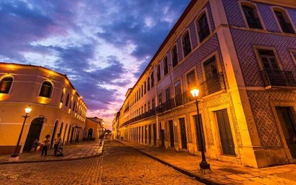
Baturité’s cultural importance can best be gauged by its historical buildings, monuments, urban and rural houses and religious buildings.
In 1883, Baturité declared the emancipation of its slaves in a ceremony held in the old Prédio da Cultura, which today houses the Municipal Health Department.
Baturité has three distinct climatic zones: the mountain range, the foothills, where the municipal centre is located, and the hinterland.
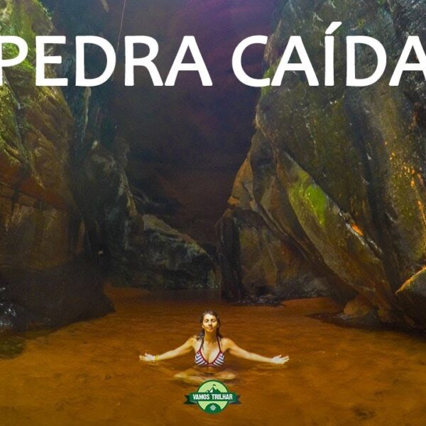
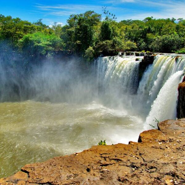
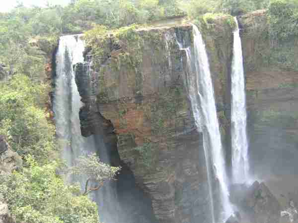
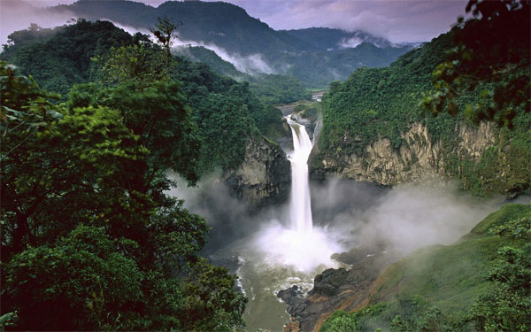
The Baturité Massif occupies 40 per cent of the municipality’s territory, with an area of Atlantic forest where waterfalls and trails delight visitors.
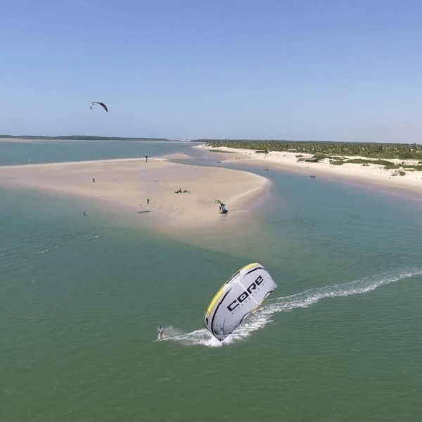
Another source of income for the municipality is tourism, which has great potential but still needs to be better exploited.
The municipality of Baturité has an APA (Environmental Protection Area) in the remnants of the Atlantic Forest that exist in the municipality, trails, waterfalls, areas suitable for practising adventure sports and a great cultural heritage spread throughout the city such as museums, monuments and centuries-old buildings.